


15 km | 21 km-effort


Gebruiker


Gratisgps-wandelapplicatie
 SityTrail
IGN / Geografische instituten
SityTrail World
De wereld gaat voor u open
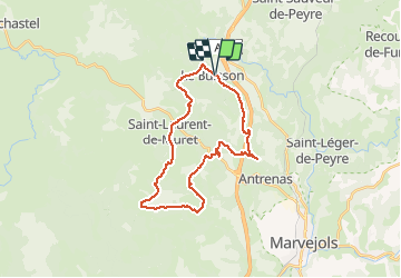
Tocht Mountainbike van 28 km beschikbaar op Occitanië, Lozère, Le Buisson. Deze tocht wordt voorgesteld door benoit48.
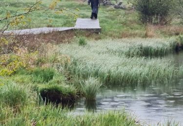
Stappen
Stappen
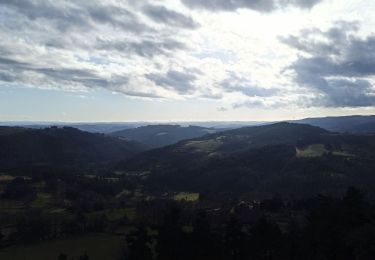
Stappen
Stappen
Stappen
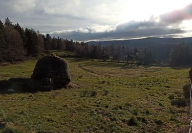
Stappen
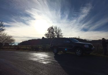
4x4
Stappen

Stappen